A Look Back on Five Decades of NJ Coastal Research

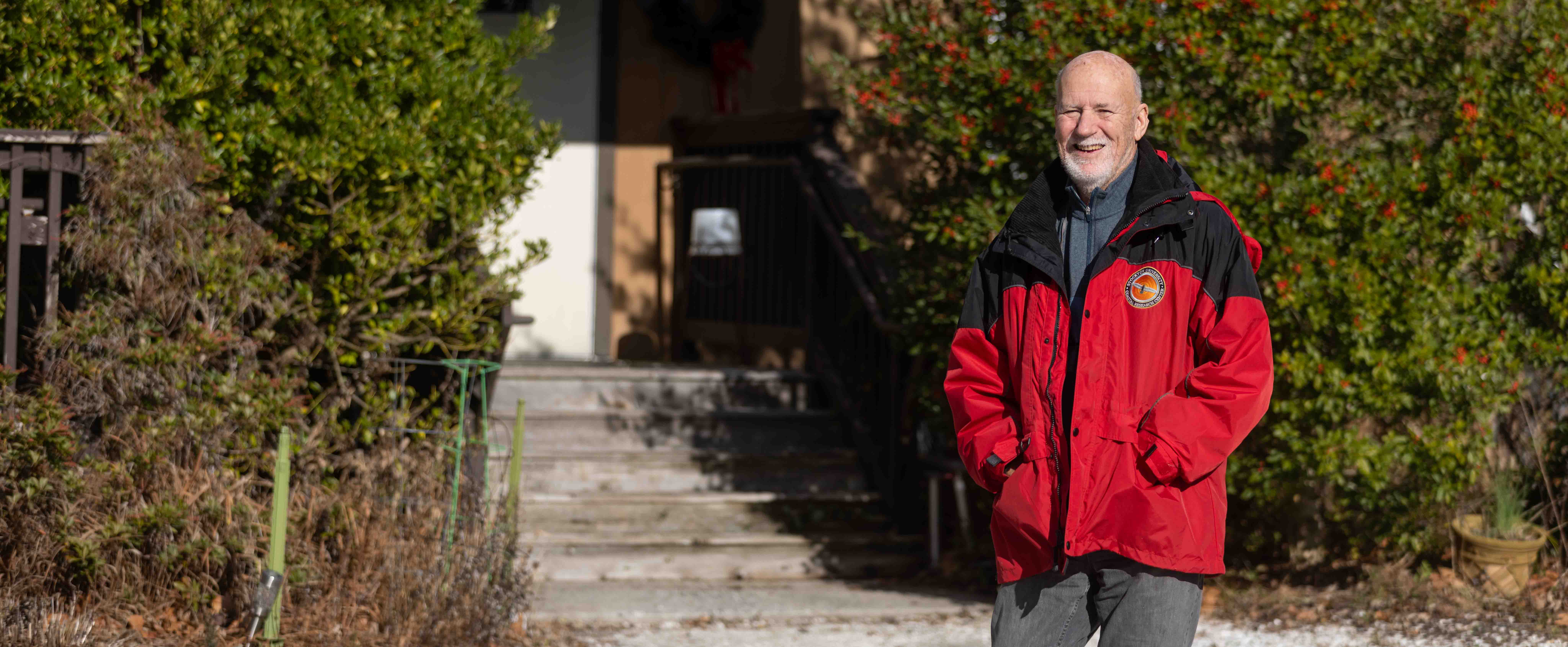
Stewart Farrell, founder and director of the Coastal Research Center, stands in front of a holly tree he planted at the start of his career.
Port Republic, N.J. - At 28 years old, Stewart Farrell “went out on a limb” during a job interview at Stockton State College and proposed an idea that would shape the Marine Science program and draw the state’s most dynamic picture of New Jersey’s ever-changing coastline.
When Farrell first heard about Stockton, he was a doctoral student studying coastal processes along Maine’s rocky shoreline. Stockton’s entire staff of eight administrators all fit into the Scott House, a former home that was converted into offices for the founders.

There was an opening for a teaching position in the Marine Science department, and Farrell, who described himself as ABD (all but dissertation), was looking for a job.
During the interview, “I said, look, there’s more to marine science than biology. There are tides, currents, waves and storms, and basically the physical processes control the biology. Not the other way around.”
They listened to his advice, and Stockton’s marine science program now had its first marine geology professor.
Farrell’s classroom and office, former rooms in the Mayflower Hotel, overlooked the Atlantic City Boardwalk with views of the waves crashing onto the beach.
“The thing that was most impressive about Stockton, was that I got to start, with my faculty colleagues, two academic programs. I had to invent this stuff along with the others,” he recalled.
The decade of the 1970s built the courses and pathways for students to study marine science, and in the following decade, Farrell would establish a statewide study and a team of researchers to help New Jersey make informed decisions to protect the shrinking barrier islands and bay beaches.
Farrell, now 80, is retiring as the founder and director of the Stockton University Coastal Research Center (CRC), located in Port Republic. Kimberly McKenna, senior project manager and director of sponsored programs at the CRC, was named interim director.
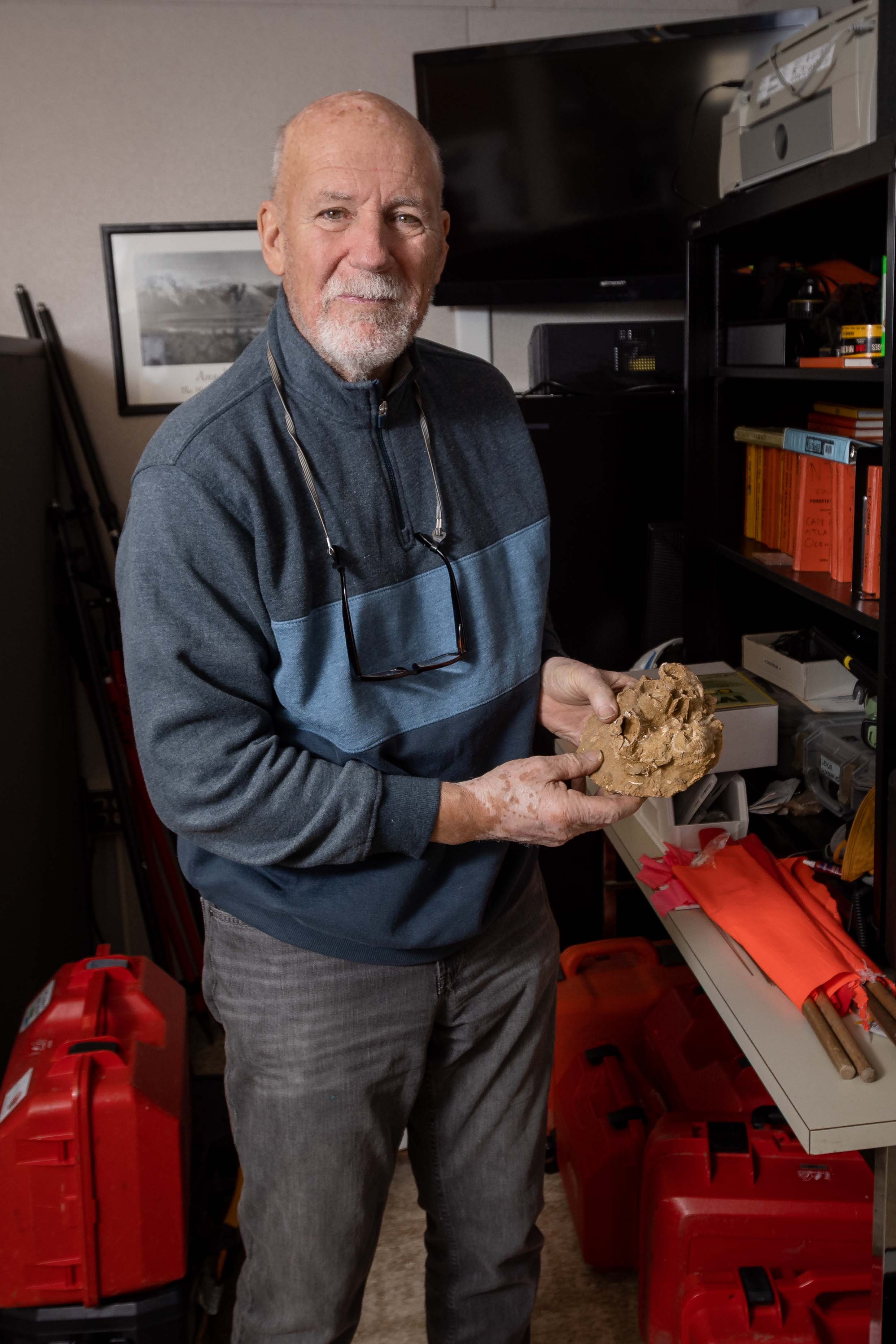
The building that houses the staff of 10 is decorated with Ansel Adams prints, nautical art, fossilized barnacles and other marine artifacts, and a bookcase full of slides and VHS tapes that document five decades of storms, erosion, flooding and sea level rise along the Jersey Shore. A sine wave representing the tidal cycle weaves through the daily blocks on his office wall calendar.
Avalon Erosion Sparks Strategic Shoreline Protection
The concept of putting sand on the beaches came about out of necessity. When Absecon Inlet was dredged in the 1930s, the sand had to go somewhere. The beaches in Atlantic City were the natural choice, but there was no strategy.
The need for shoreline protection became evident after a natural disaster. “The Storm of 1962 sort of set the stage and started the thoughts,” said Farrell.
But for decades, shore protection work had been “an afterthought that was incident-provoked and spotty.”
In the 1980s, the state began to create bonds to fund coastal shore protection, and in 1985, Avalon had a need.
Avalon beaches were eroding 10-20 feet a week in the summer. Desperate for a solution, the borough called Stockton, and the plea for help made its way to the right person, a coastal geologist.
Farrell started with a survey. “We set up a series of profile lines on the beach and measured the topography from the dunes out into the water every two weeks. I went down there with a couple of students, one of whom is still working here, Kimberly McKenna. We verified that the losses were substantial,” he said.
Bond funds were then used to put sand on Avalon’s beaches. Farrell designed how the sand should be dispersed. A model for data-driven beach nourishment had emerged.
In the same year, Hurricane Gloria created a state of emergency and spurred a new series of questions.
“FEMA said okay, what were your losses? There were Polaroid pictures, but what was it before the storm? What’s the quantity that’s missing? FEMA wanted actual cubic yardage based on surveys which did not exist,” explained Farrell.
From that moment forward, there would be beach profiles to document shoreline changes. Farrell founded the Coastal Research Center to profile New Jersey’s 130 miles of ocean coastline and its Delaware Bay beaches.
“Senator William Bradley put together a $6 million earmark that Senate approved for the Department of Environmental Protection (DEP) to do better, and $53,000 went to the Coastal Research Center to setup a series of sites from Cape May Point to Sandy Hook which would be surveyed annually from the dunes into water at least 15 feet deep,” he said.
It only took five days cruising the coast to select at least one profile location in each shore town.
“How do we do this,” Farrell asked himself.
The work to survey and report on the evolving coastline would take a team—and it’s a team that Farrell is proud of and eternally grateful for.
He didn’t have to look any further than the campus to start the team. Students were paid to do the field work while gaining real-world experience. Over the years, hundreds of students worked as swimmers to conduct the surveys with many moving on to careers with the Army Corp of Engineers and private firms. And some are now employed by the CRC.
The Center generates a $1.2 million revenue stream annually with 40 percent coming from the shore towns and most of the remaining balance coming from the DEP. A small percentage comes from grants with the American Littoral Society and The Nature Conservancy.
Rising Seas Urge Coastal Research
In the last 25,000 years, sea level has risen 400 feet.
“It didn’t do it steadily, it did it episodically. It jumps and starts because the ice didn’t retreat steadily. The ice melted in episodes, and the most recent episode started about 12,000 years ago and ended 6,000 years ago just as civilization was beginning to come out of the caves. Sea level came to a position 6,000 years ago and has been slowly rising ever since, accelerated since 1850, our fault,” said Farrell.
A tide gauge on the Steel Pier in Atlantic City, a simple tube with a float, rises and falls with the tides and records all changes in water level, most of which is caused by the tides, but it also documents sea level rise.
“Between 1910 and 2020, sea level in Atlantic City has risen 1.35 feet,” said Farrell.
This year, the National Oceanic and Atmospheric Administration (NOAA) published a revised prediction of future sea level rise using data from the past to make projections for 2050.
“If they project the tide gauge in Atlantic City to 2050, then sea level will be about half a foot higher,” said Farrell.
After 2050, NOAA uses hypothetical, digital modeling to calculate predictions. “FEMA says you have to use the intermediate high projection for 2100 and that for Atlantic City is 4.65 feet. That puts about a quarter of Atlantic City underwater every high tide,” he said.
That prediction puts water at Wilson Avenue where the CRC is located. For comparison, “Sandy put water to our front steps,” he said.
There’s no stopping Mother Nature, but the CRC can present the data to inform decision making.
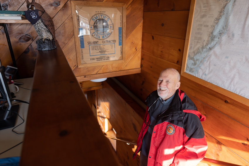
 Stewart Farrell stands next to a framed Smith's fish meal bag from what is known locally
as the Fish Factory, a former menhaden fish processing plant in Great Bay.
 Refilling the Past to Protect the Future
In 1920, Ventnor Heights was saltmarsh. Just eight years later it was building lots. The transformation was the result of steam-powered dredges.
“They could dig up and pump thousands of yards an hour anywhere within a mile or two of the dredge. They started digging holes in the channels in the bay and they dug them 50-60 feet deep and they pumped it to make Ventnor West and Ventnor Heights, which is a funny name for a place that’s really low,” said Farrell.
The new developable land left dredge holes in the marsh. “The holes are quite numerous and they’re dark, black, anoxic holes. If it needs oxygen, it can’t live there,” said Farrell.
After World War I, tourists could take a train ride to the Jersey Shore. Real estate gurus had a revelation to keep them here and turned to the marsh as a resource to make room.
Margate’s Shelter Island is another dredge hole. “We have pictures from the air of it being dug in 1926, and that’s how most of the area of Margate got its fill. They dug 28 feet on 40-some acres in the middle of a saltmarsh. That built up the Margate bayshore, from Jerome Avenue south,” he explained.
About 15 years ago, the Department of Transportation took over dredging in New Jersey’s waterways, and a marine resources office was tasked with determining where dredge material goes.
“Before the DEP existed in 1968, you just dumped it wherever you wanted to and that was the saltmarsh because it was right there. Environmentally it’s a bad idea, so let’s find a place to use it. Beneficial reuse emerged in the 2000s as a mantra for the future and we jumped on that,” said Farrell.
From 2006-2008, the Center surveyed and catalogued all the places where dredge material was being put or had been put in legacy spots.
Today the dredge fill is being used to reconstruct saltmarshes that have degraded, to build up beaches when it’s sand and to refill dredge holes that cannot support marine life through the year.
Post-Sandy Work Salvages Habitat
Hurricane Sandy’s winds released their fury on the Delaware Bay shoreline in New Jersey.
A 25-mile fetch of wind traveled across the bay generating 4- to 5-foot waves that hit the coast. “They wiped out the beaches, which were just thin sandy strands along the edge of the saltmarsh, and it pushed the sand into the marsh as a layer 6 inches thick among the grass blades,” said Farrell.
The new shallow sand beaches threatened the survival of horseshoe crabs that need a sand layer thick enough to protect and incubate their protein-rich eggs that fuel the Red knot shorebirds on their migration to their Arctic breeding grounds.
The American Littoral Society realized this and worked with the Coastal Research Center to design and shape the beaches to meet the needs of the crabs with funding from the U.S. Fish and Wildlife Service.
Oyster reef installations were added to minimize wave energy in an effort to perpetuate a sandy shoreline for the horseshoe crabs and Red knots. The CRC expanded that work to Barnegat Bay, Forked River and Seaside Park.
Nuisance Flooding on the Rise
The combination of sea level rise, east winds, heavy rain and a new or full moon have created a perfect storm known as nuisance flooding that fills bayfront lawns and streets with water that lingers for hours.
“This is what happens on a clear day with an east wind, and this happens a lot,” Farrell said.
The CRC is tracking this kind of flooding by placing sensors on storm drains to measure water pressure. They collect data for three months at a time measuring the pressure and the time every four minutes.
The CRC has a proposal in to the DEP to build a new dune, truck in all the sand and build a 6-foot dune in Seaside Park. Oyster reefs would go out in front to attenuate waves and keep the sand dune from eroding away.
If sea level continues to rise, nuisance flooding will get worse, said Farrell.
The Ocean’s Greatest Lesson
The most valuable lesson the ocean has taught Farrell is to “expect the unexpected.”
With shoreline protection, he’s learned that nothing perfectly fits an equation. “Be ready for the unusual because it’s going to happen that way,” he said.
Farrell knows he won’t be around for the ultimate event. “A 2-year-old will be 80 in 2100, and they will see it if it happens the way FEMA is projecting it to happen. What do we do,” he asked.
There are three choices.
For option one, he said, “You can put a Holland-style dike around everything and make it flood proof, so it has to be a wall 15-foot high around the entire island. And then you have to pump all the rainwater out like they do in New Orleans today."
For option two, he said, “You can bring 2.5 million yards of dirt and raise everything up, everything. Bring it up 10 feet, fill everything and then new infrastructure, new roadways, raise all the houses, and if it’s impossible to raise, demolish it and rebuild and use the rubble as fill.”
And last, he said, “You can walk away and let it go. There will be a new barrier island someday. They are all over the place out on the continental shelf.”

Looking back on his career, Farrell is proud and grateful for the talented and dedicated team at the CRC and his relationship with Avalon that is especially memorable for being the place where it all started.
In his retirement, Farrell plans to spend more time at his Cape May Point home with his wife, Valerie, and their dogs, Mika and Chugatch, and their cat, Puddy, who he says adopted them over a year ago.
"There have been over a dozen four-footed dependents over the decades along with 107 rescued in cooperation with the Atlantic County SPCA where we volunteered during the 1990s," he said.
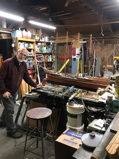
Woodworking, antique furniture restoration and decoy collecting are a few of Farrell's hobbies that he looks forward to in retirement.
"A massive debt of gratitude is owed by me to Valerie for her 47 years putting up with my field trips including seven weeks in Iceland, the many night meetings at various municipal councils, boat work and feeling that at times the CRC came first (which it did not, it just looked that way at times to her)," he said.
Photos and story by Susan Allen


